RSS Mesoscale Discussions from Storm Prediction Center
No watches are valid as of Sun Jul 13 07:36:01 UTC 2025.

No Mesoscale Discussions are in effect as of Sun Jul 13 07:36:01 UTC 2025.
SPC 1200Z Day 1 Outlook


Day 1 Convective Outlook
NWS Storm Prediction Center Norman OK
1253 AM CDT Sun Jul 13 2025

Valid 131200Z - 141200Z

...THERE IS A MARGINAL RISK OF SEVERE THUNDERSTORMS IN PARTS OF THE
CENTRAL/EASTERN AND SOUTHWEST STATES...

...SUMMARY...
Isolated severe thunderstorms are possible today through early
tonight in the Upper Midwest, Mid-Atlantic/Northeast, Southwest,
south-central Texas to the Lower Ohio Valley, and Florida.

...Upper Midwest...
In the wake of a 500-mb trough passage this morning, a strong 500-mb
jetlet will shift across the southern Prairie Provinces. Guidance
consensus indicates a low-amplitude 700-mb trough should shift
southeast ahead of the aforementioned jetlet in the eastern Dakotas
to western MN by late afternoon. This should aid in strengthening
convergence along a progressive surface trough approaching northeast
MN to the Mid-MO Valley. The northwest flow setup will yield
favorable hodograph structure for potential discrete supercells and
large hail production. But modest mid-level lapse rates and a
confined weak to moderate buoyancy plume, largely driven by
evapotranspiration ahead of the front, should modulate overall
intensity/coverage. Isolated large hail/severe gusts from a few
widely spaced supercells seem plausible from late afternoon to dusk.

...Mid-Atlantic/Northeast...
Scattered to numerous storms are expected this afternoon within a
persistent high PW airmass across the East. Convection from PA
southward will remain disorganized amid weak to minimal shear with
southern extent into VA/NC. Modest mid-level southwesterlies across
NY, owing to peripheral influence of the ON/Upper Great Lakes
trough, may aid in weak multicell clustering here. Erratic, mainly
pulse convection is anticipated with locally strong gusts.

...Southwest...
As a mid-level anticyclone becomes centered over the southern Great
Basin, modest northerlies will dominate across northern NM turning
to easterlies over southeast AZ. Widespread storms are expected to
develop off the higher terrain and slowly progress south to west
from mid-afternoon to mid-evening. With a gradient in buoyancy from
northwest to southeast, larger over the southern High Plains,
isolated severe hail will be possible over NM. Otherwise, isolated
severe gusts should be the primary threat into southeast AZ.

...South-central TX to the Lower OH Valley...
A nearly-stationary MCS is expected to be ongoing at 12Z across a
portion of south-central TX with a primary threat of flash flooding
(see WPC EROs/MPDs for details). Scattered convection should also be
ongoing north-northeast into parts of MO. Multiple MCVs within both
regimes will likely drift east within a low-amplitude mid-level
trough. A belt of enhanced 700-mb southwesterlies ahead of these
features may overlap various large-scale outflows. This could
support an uptick in isolated damaging winds surrounding peak
boundary-layer heating, mainly from midday to dusk.

...FL...
With the mid-level anticyclone becoming centered along the central
Gulf Coast, weak northerly flow will dominate much of the state. 00Z
HREF indicates a pronounced signal for scattered storms along the
north FL/south GA border through the central/eastern FL Peninsula.
Amid 2000-3000 J/kg MLCAPE and high PW values yielding melting small
hail, localized marginal severe gusts in wet microbursts will be
possible from mid-afternoon to early evening.

..Grams/Thornton.. 07/13/2025


Read more
SPC 0600Z Day 2 Outlook


Day 2 Convective Outlook
NWS Storm Prediction Center Norman OK
1206 AM CDT Sun Jul 13 2025

Valid 141200Z - 151200Z

...THERE IS A MARGINAL RISK OF SEVERE THUNDERSTORMS ACROSS PARTS OF
THE NORTHERN PLAINS...

...SUMMARY...
Isolated strong to severe thunderstorms are possible across portions
of the northern Plains late Monday afternoon and evening.

...Northern Plains...

A positive-tilt upper shortwave trough will shift east across the
northern Rockies/MT on Monday. In response, a surface low is
forecast to develop over the northern High Plains, with attendant
surface trough extending southward into the central High Plains.
Strong heating will result in deep boundary layer mixing ahead of a
cold front developing southward across MT/ND. Modest moisture and
steep lapse rates will nonetheless support modest instability.
Increasing westerly flow aloft also will provide support for
marginal effective shear (near 25 kt). Increasing ascent by late
afternoon and into the evening may support isolated strong to severe
storms initially along the surface trough, with additional
development possible along the cold front during the evening and
into the nighttime hours. Strong gusts and isolated hail will be
possible.

...Mid-Atlantic into FL...

A very moist airmass with PW values near/above 2 inches will be in
place. Where strong heating occurs, weak to moderate instability is
forecast amid steepening low-level lapse rates. Vertical shear will
remain weak, generally 15-20 kt or less. Nevertheless, sporadic
strong gusts will be possible, but overall severe potential is
expected to remain low at this time.

..Leitman.. 07/13/2025


Read more
SPC 0730Z Day 3 Outlook


Day 3 Convective Outlook
NWS Storm Prediction Center Norman OK
0144 AM CDT Sun Jul 13 2025

Valid 151200Z - 161200Z

...THERE IS A MARGINAL RISK OF SEVERE THUNDERSTORMS ACROSS PARTS OF
THE NORTHERN AND CENTRAL PLAINS TO THE UPPER MIDWEST...

...SUMMARY...
Isolated strong to severe thunderstorms are possible Tuesday
afternoon and evening across portions of the central Plains to Upper
Midwest.

...Northern/Central Plains to the Upper Midwest...

An upper trough will develop eastward across the northern Plains
toward the Upper Midwest on Tuesday. At the surface, a cold front is
forecast to spread southeast across the Dakotas/NE, becoming
positioned from the Upper MS Valley to northern KS by Wednesday
morning. Ahead of the front, a seasonally moist airmass will be in
place. Steep low and midlevel lapse rates will support moderate to
strong destabilization, and thunderstorms should develop by
mid-to-late afternoon as large-scale ascent increases. Deep-layer
flow is not forecast to be overly strong, with effective shear
magnitudes in forecast soundings generally around 25-30 kt. Given
favorable thermodynamic profiles, this should be more than
sufficient for scattered organized cells capable of produce strong
gusts and hail from NE/SD into MN, necessitating a Marginal (level 1
of 5) risk.

...Mid-MS Valley...

A remnant low/MCV is forecast to move across MO/IL/IA on Tuesday. A
very moist airmass will be in place, with surface dewpoints into the
70s and PW values near 2 inches. This will aid in moderate
destabilization, though forecast lapse rates are modest.
Furthermore, deep-layer flow will be modest, though some local
enhancement near the low/MCV is possible. Quite a bit of spread in
noted in forecast guidance regarding the strength of this feature,
and several rounds of convection are possible in the days prior to
Tuesday. At this time, severe potential appears limited, but
isolated strong gusts could.

..Leitman.. 07/13/2025


Read more
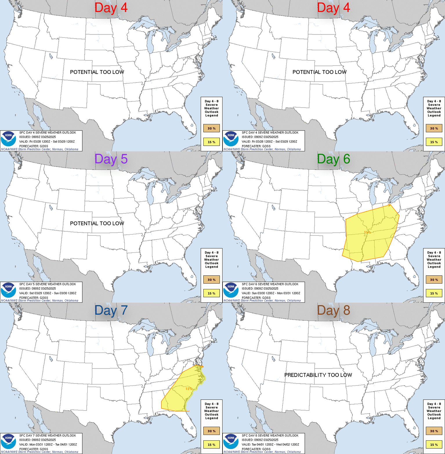
Day 4-8 Outlook


Day 4-8 Convective Outlook
NWS Storm Prediction Center Norman OK
0232 AM CDT Sun Jul 13 2025

Valid 161200Z - 211200Z

...DISCUSSION...
Generally low-amplitude westerly flow will persist across the
northern tier of the CONUS during the Day 4-8 period. A couple of
shortwave impulses will migrate through westerly flow from the Upper
Midwest to the Great Lakes vicinity on Days 4-5/Wed-Thu and again
during the weekend. These features could support some severe
thunderstorm potential for parts of the Midwest/Great Lakes
vicinity, particularly on Days 4-5/Wed-Thu as a sagging cold front
stalls over the Great Lakes. However, prior convection and large
spread among various medium range guidance regarding timing and
location of these somewhat subtle features precludes severe
probabilities at this time.

Strong upper ridging will develop across the south-central and
southeast U.S. beginning around Day 6/Fri. Weak deep-layer flow
beneath the upper ridge and lack of large-scale forcing will limit
severe potential from the southern Plains into the Southeast.


Read more
SPC Day 1 Fire Weather Outlook


Day 1 Fire Weather Outlook
NWS Storm Prediction Center Norman OK
1134 PM CDT Sat Jul 12 2025

Valid 131200Z - 141200Z

...Synopsis...
A mid-level wave will begin to traverse the northern periphery of
the western ridge today, bringing an increase in westerly flow
across the Cascades in central Washington and northern Oregon.
Elevated fire weather conditions will be likely across the Cascade
Gaps and into the Columbia Basin, where relative humidity reductions
around 20 percent will overlap winds sustained 10-15 mph (locally
higher). An Elevated was maintained with this outlook to support
potential for increased fire spread potential.

...Dry Thunderstorms...
A mix of wet/dry thunderstorms will be possible in Northern Arizona
today. Moisture banked across the Mogollon Rim becomes less with
northern extent, where PWs drop to around 0.25-0.50". Storm motions
will be around 10-20 mph, but coverage should allow multiple rounds
of storms. However, outside of heavier cores and where less coverage
is expected across the western rim, there could be a few instances
of dry lightning. Overall, the small coverage of this risk does not
warrant inclusion of an area at this time.

..Thornton.. 07/13/2025

...Please see www.spc.noaa.gov/fire for graphic product...


Read more
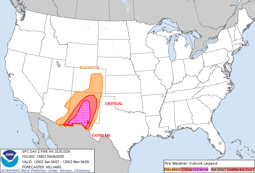
SPC Day 2 Fire Weather Outlook


Day 2 Fire Weather Outlook
NWS Storm Prediction Center Norman OK
1135 PM CDT Sat Jul 12 2025

Valid 141200Z - 151200Z

...Synopsis...
Winds across the Pacific Northwest will increase again on D2/Monday
as a belt of enhanced mid-level westerlies moves out of British
Columbia along with a south-southeastward moving cold front.
Elevated fire weather concerns will continue across the Cascades
into the Columbia River Basin and further east in the Snake River
Plain in Idaho. Winds around 15-20 mph will overlap relative
humidity reductions to around 15-20 percent in these regions. A few
hours of locally Critical conditions will be possible across the
Snake River Plain, however, limited coverage precludes introduction
of a Critical area.

..Thornton.. 07/13/2025

...Please see www.spc.noaa.gov/fire for graphic product...


Read more
|


