|
updated: Thu 8:35 PM EST |
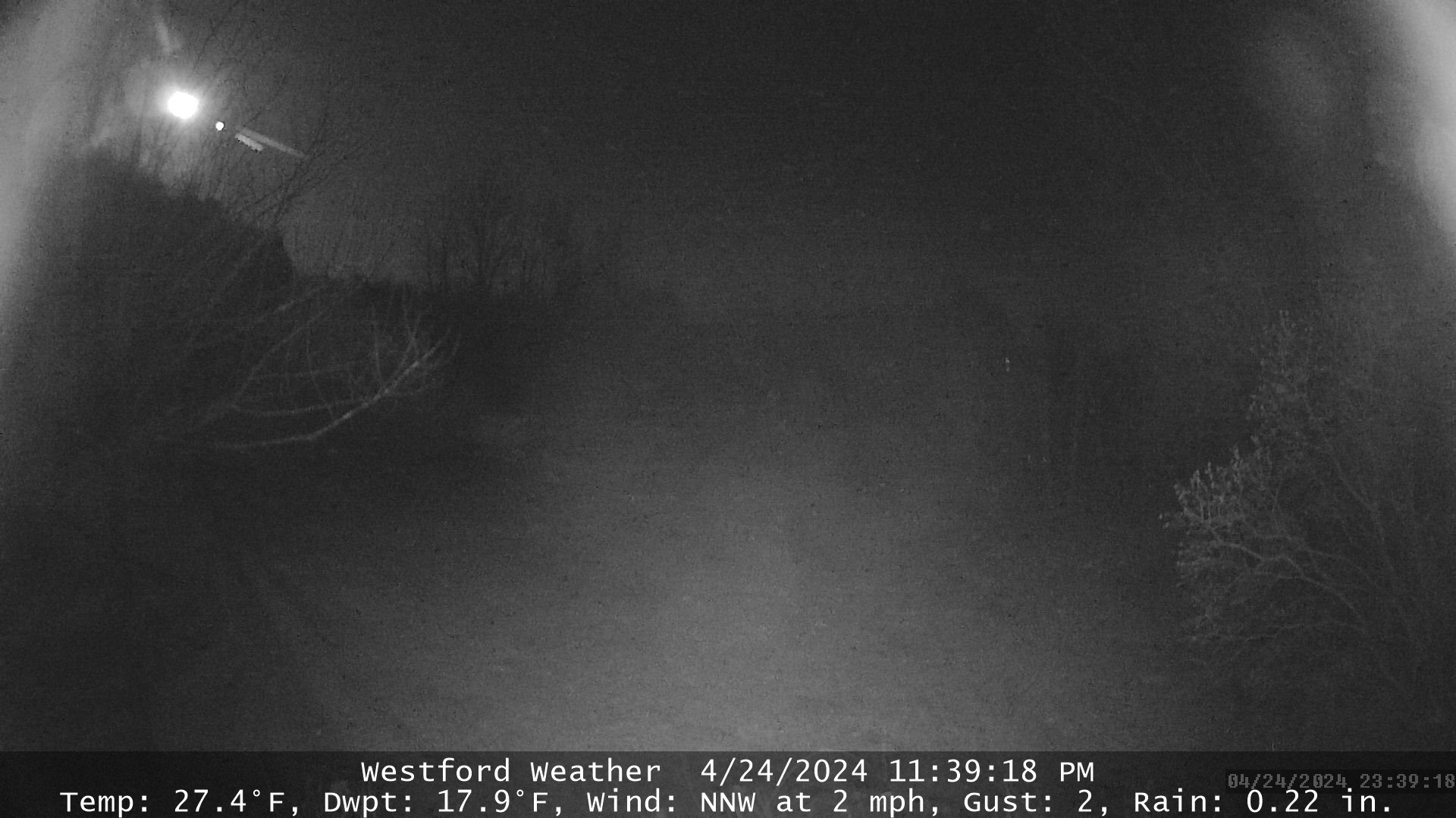
CURRENTLY |
TODAY'S EXTREMES |
Temperature
Office Temp: 66.5°F
|
2.7°F
1 Hour difference -0.5°F
24 Hour difference -22.8°F
|
High: 28.7°F at 5:54 AM
Low : 2.5°F at 8:23 PM
Record Hi: 54° in 2012
Record Low: 9° in 2021
|
| Dew Point
|
-6.7°F
1 Hour difference -1°F
24 Hour difference -27°F
|
High: 24.5°F at 5:54 AM
Low : -6.7°F at 8:34 PM
|
Humidity
Office Humidity: 36%
|
64%
1 Hour difference -1%
24 Hour difference -17%
|
High:
89% at 7:48 AM
Low : 61% at 5:35 PM
|
Wind "Light air"
Wind Run: 93.4 miles
|
W @
4 mph
Gust: 4 mph
|
Top Gust: 21 mph at 2:42 PM
Top Gust this hour: 10 mph
|
| Feels Like |
Heat Index: 2°F
Wind Chill: -5°F
|
Heat Index: 28°F at 2:02 AM
Wind Chill: -8°F at 8:19 PM
|
Barometer
Rising
|
30.250 in.
1 Hour difference 0.024
24 Hour difference 0.342
|
High: 30.251 in. at 8:26 PM
Low : 29.800 in. at 5:33 AM
|
| Precip Today
Precip. last occurred on
December 2, 2025
(2 days ago)
|
0.00 in.
Rate
0.00 in. per hour
Storm Rain: 0.00
24 Hr Rain: 0.00
|
December: 0.35 in.
Year: 46.75 in.
Record for Today: 0.28 in 2012
|
| Solar Radiation |
Radiation: 0 W/m2
Evapotranspiration: 0.011 in.
|
|
| Sun/Moon Data |
7:13 AM |
4:11 PM |
| Console Forecast |
Mostly clear with little temperature change. |